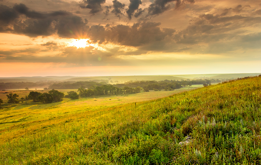
From forests to wetlands and the subsurface to the exosphere, Earth is a collection of complex ecosystems and processes. We’ve pioneered approaches to explore these in the laboratory and in remote and extreme field environments to better understand ecological and climate systems.
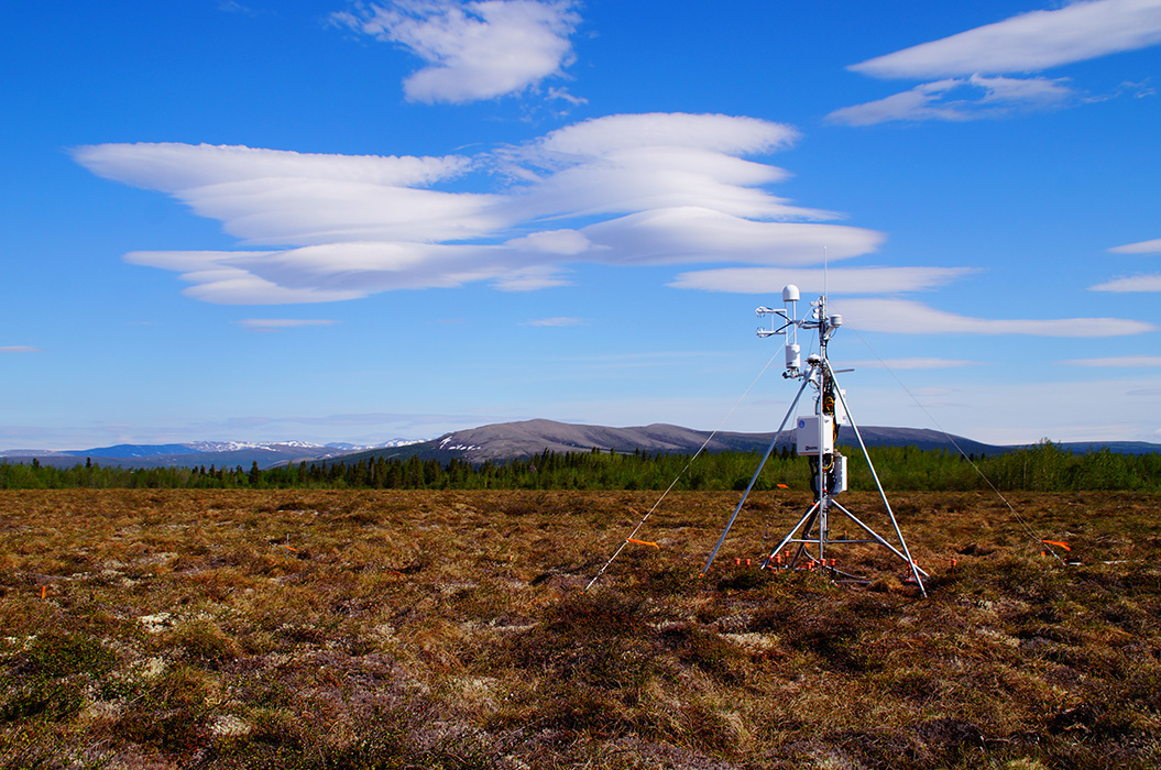
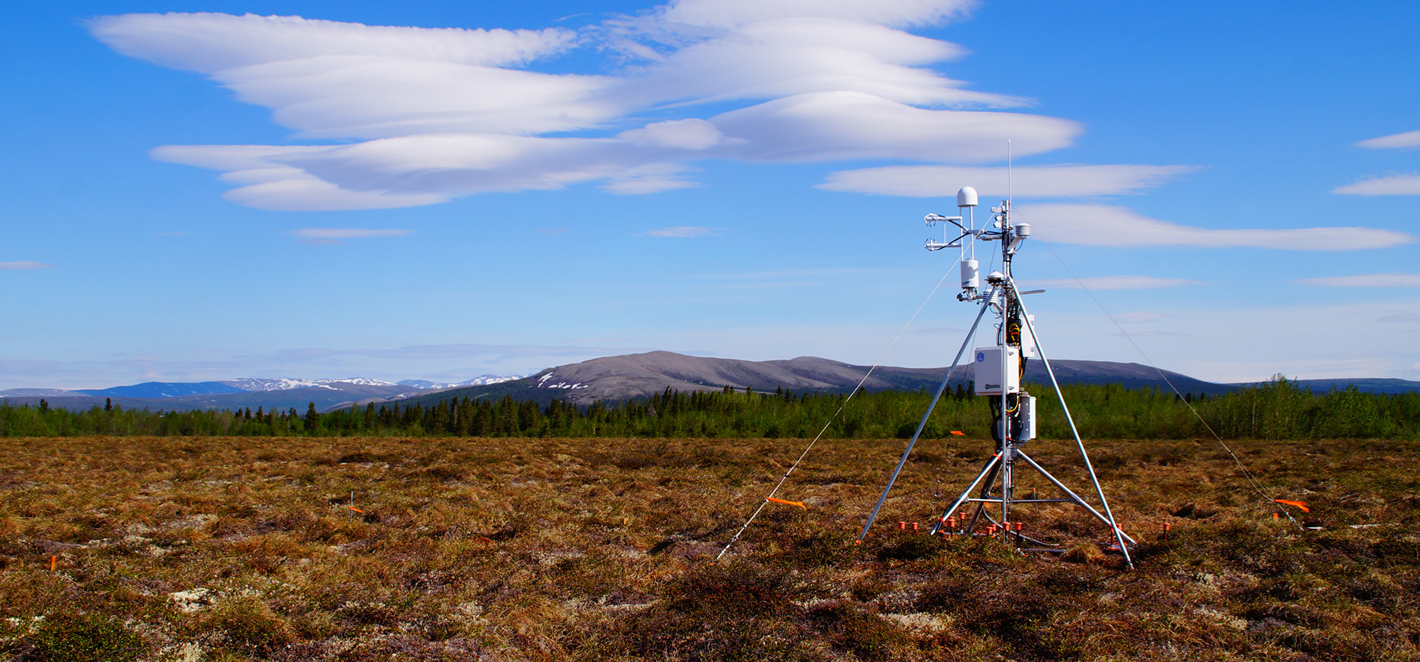
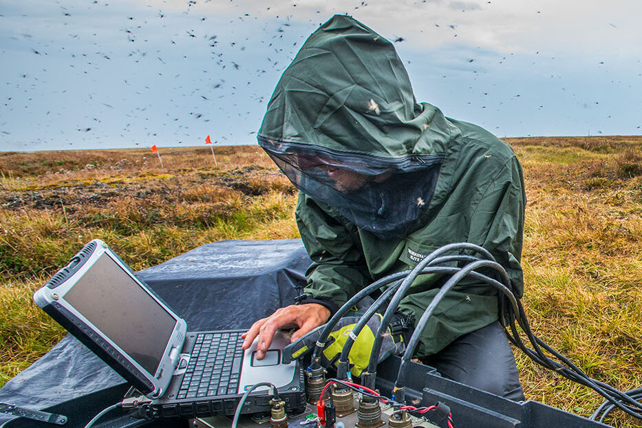
Autonomous and remote sensing
Develop and deploy community observatories, nimble and networked sensing systems, and scale-adaptive tools to observe and simulate processes across space and time.
Custom instrumentation
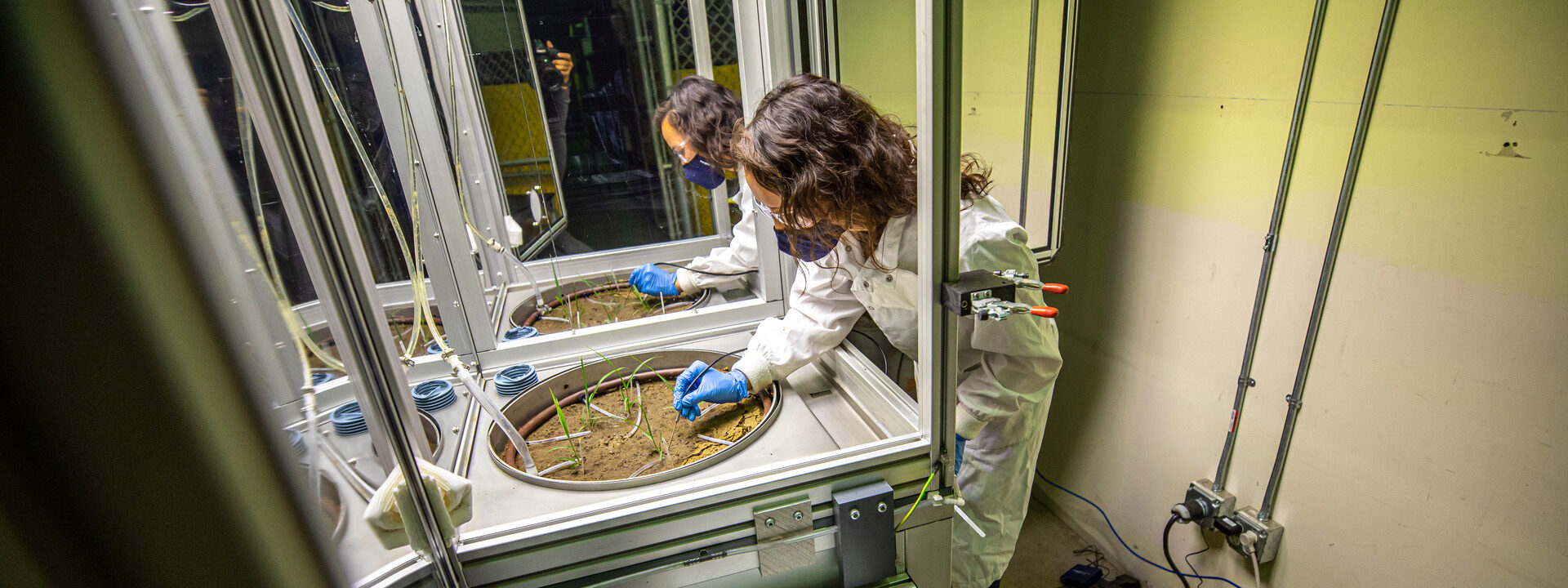
Build, develop, and deploy customized Earth science instrumentation at the unique DOE Geosciences Measurement Facility.
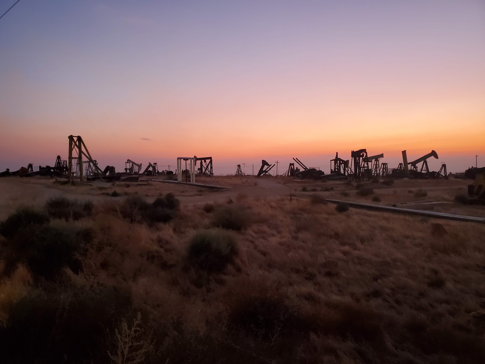
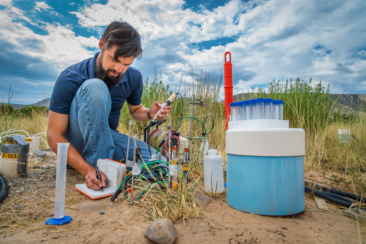
Subsurface investigation
Develop tools for probing and monitoring Earth’s subsurface to examine potential for carbon storage, hydrogen, and geothermal energy.
Critical infrastructure
Understand and improve critical infrastructure resilience to leaks and natural hazards.
Watershed Scientific Focus Area
Developing tools to measure and predict how droughts, early snowmelt, and other disturbances affect water availability.
SUMMATION
Developing tools and methods to identify high-emissions methane hotspots.
Next-Generation Ecosystem Experiments–Tropics (NGEE-Tropics)
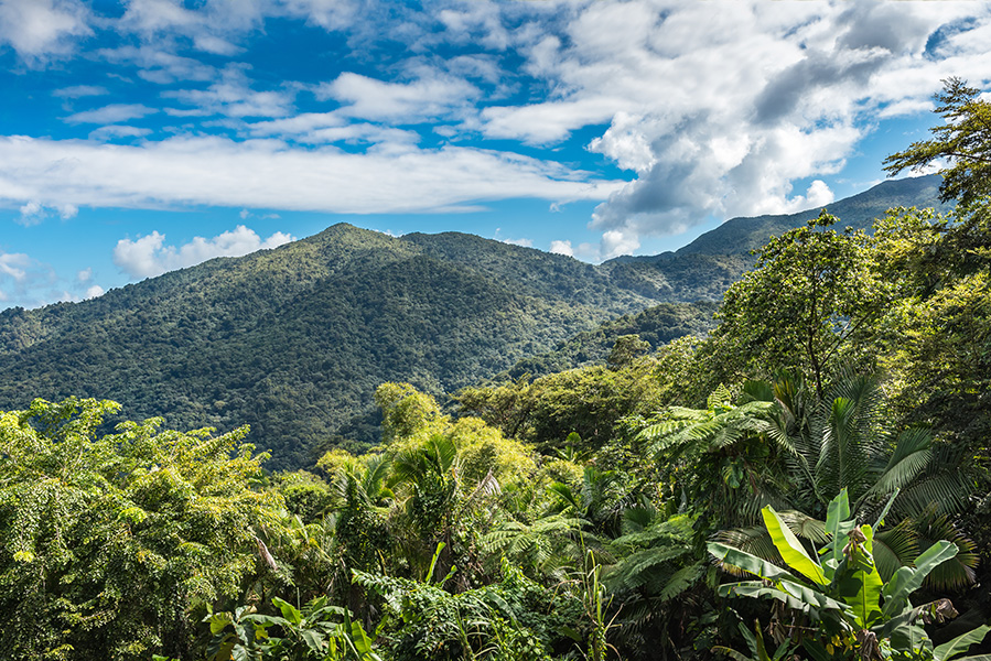
Advancing model predictions of tropical forest carbon cycle responses to various climate conditions.
Wildfire research
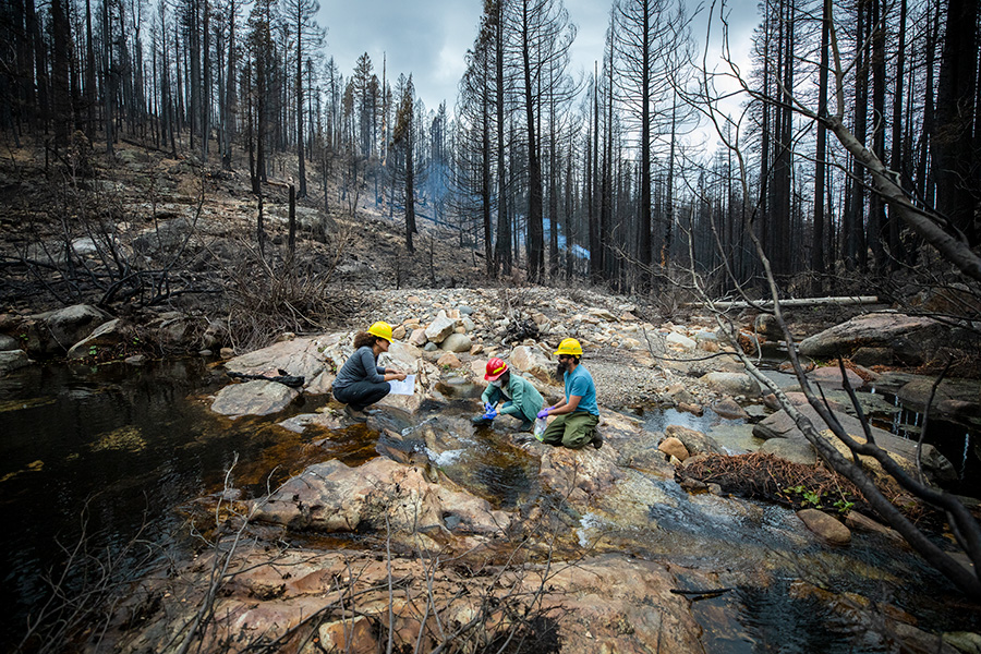
Incorporating data from burned areas within models to predict how wildfires affect ecosystems.
Geothermal Systems Program
Developing technologies to explore natural hydrothermal systems and enhanced geothermal systems.
Geosciences Measurement Facility
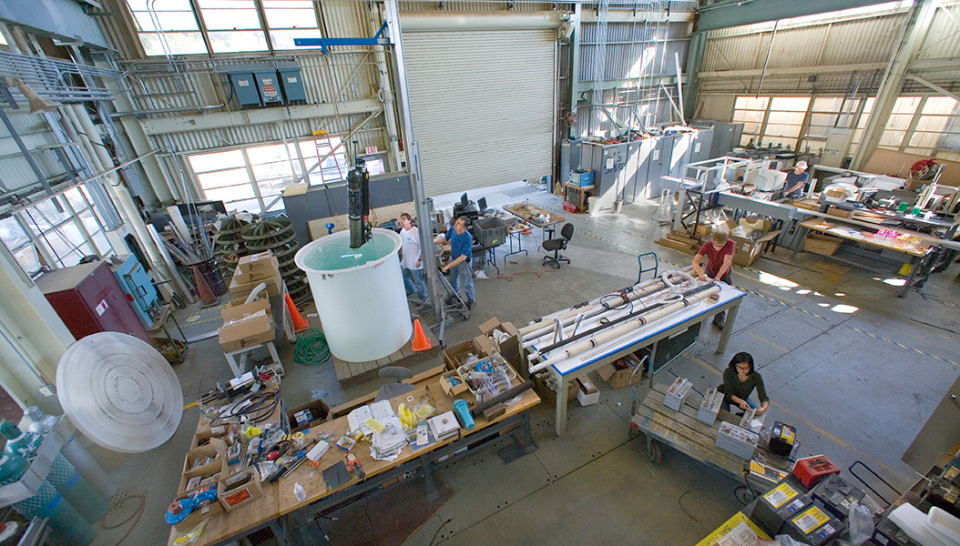
Designing, building, testing, and deploying customized Earth and environmental science instrumentation.
AmeriFlux
Supporting a network of principal investigator-managed sites measuring carbon, water, and energy fluxes across the Americas.
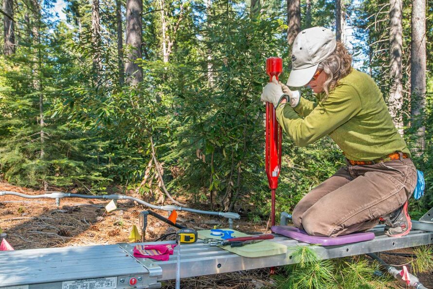
Belowground Biogeochemistry Scientific Focus Area
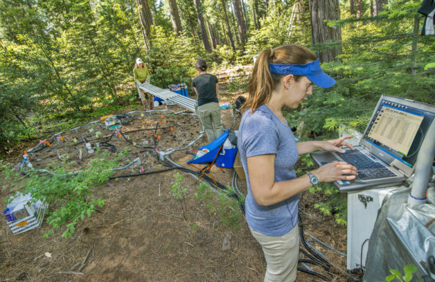
Developing predictive capacity of soil’s role in global models of ecosystem climate interactions.
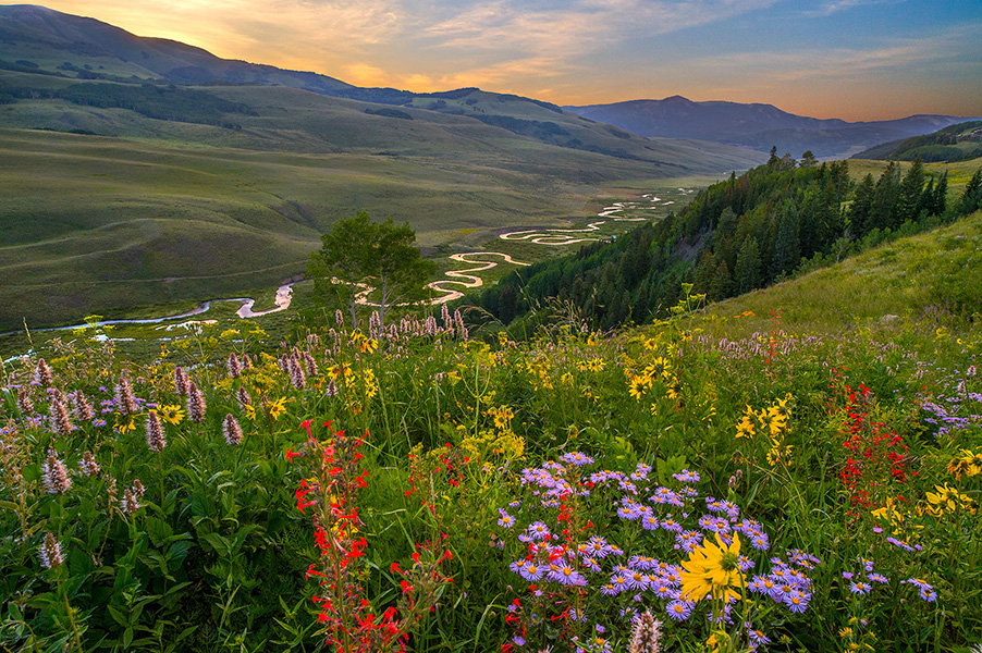
Surface Atmosphere Integrated Field Laboratory (SAIL)
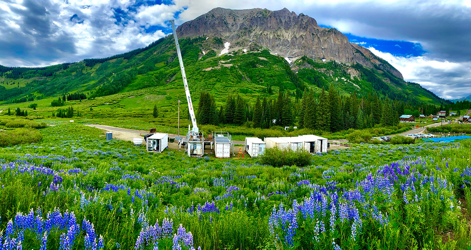
An advanced atmospheric observatory exploring factors that affect how mountainous watersheds in the Rocky Mountains deliver water.
Environmental Systems Science Data Infrastructure for a Virtual Ecosystem (ESS-DIVE)
A data repository that collects, stores, manages, and shares earth and environmental systems data created through research sponsored by the U.S. Department of Energy.
Erica Siirila-Woodburn is a research scientist in the Energy Geosciences Division. A hydrogeologist by training, her research is focused in the fields of integrated groundwater-surface water hydrology, stochastic approaches and geostatistics, risk analysis, and numerical techniques.
A hydroclimate research scientist in the Earth and Environmental Sciences Area, Alan Rhoades uses climate models to assess the influence of climate change on mountainous water cycle processes, how those changes influence water resource management, and how the scientific community might better help water managers preemptively adapt to these changes.
Marcos Longo is a research scientist in the Climate and Ecosystem Sciences Division. His main focus is to understand the impacts of climate and land use change on tropical forest ecosystems, in addition to improving the representation of structural and functional diversity of tropical forests in terrestrial biosphere models.
A research team from the Department of Energy’s Lawrence Berkeley National Laboratory (Berkeley Lab) analyzed wetland methane emissions data across the entire Boreal-Arctic region and found that these emissions have increased approximately nine percent since 2002.
Elaine Pegoraro is looking underfoot for answers to questions about the atmosphere above. The postdoctoral researcher is studying whether soil organisms in grasslands react to increasing temperatures by storing more carbon or releasing more carbon. This work will help us understand the planet’s future carbon balance.
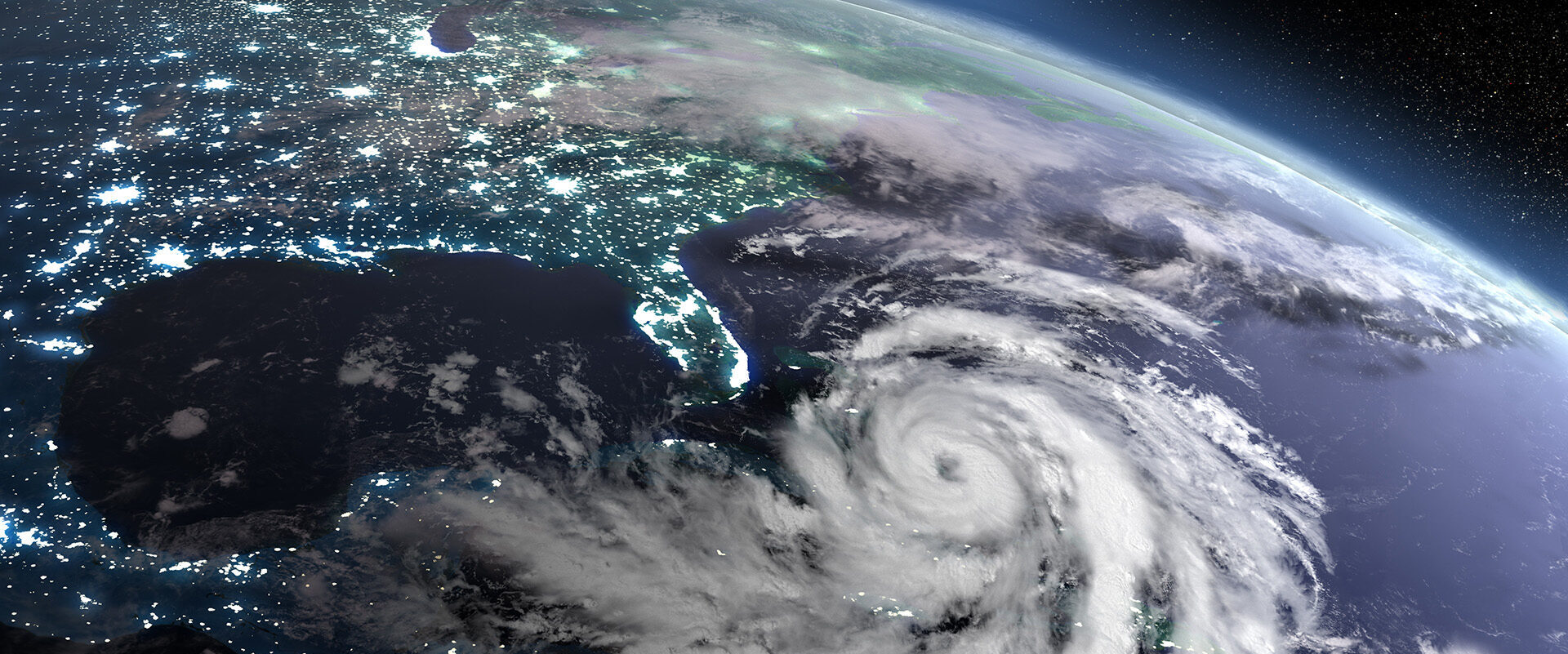
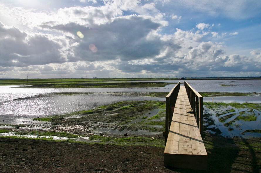
Rising Sea Levels Could Lead to More Methane Emitted from Wetlands
Preserving Forests to Protect Deep Soil From Warming
Doubling Protected Lands for Biodiversity Could Require Tradeoffs With Other Land Uses, Study Finds
Climate Science
Clean and Affordable Water
Microbes to Ecosystems